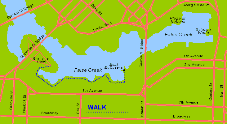
Length: 3/4 miles one way
Time to Walk: 20 minutes each way
Type of Walk: Waterfront/Scenic
Location: Downtown Vancouver
Click images for larger versions
Let's Go!
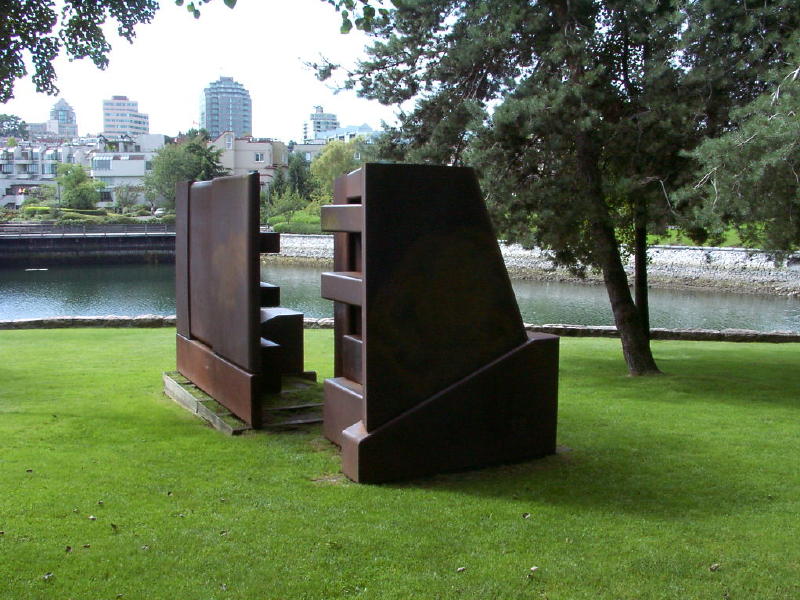
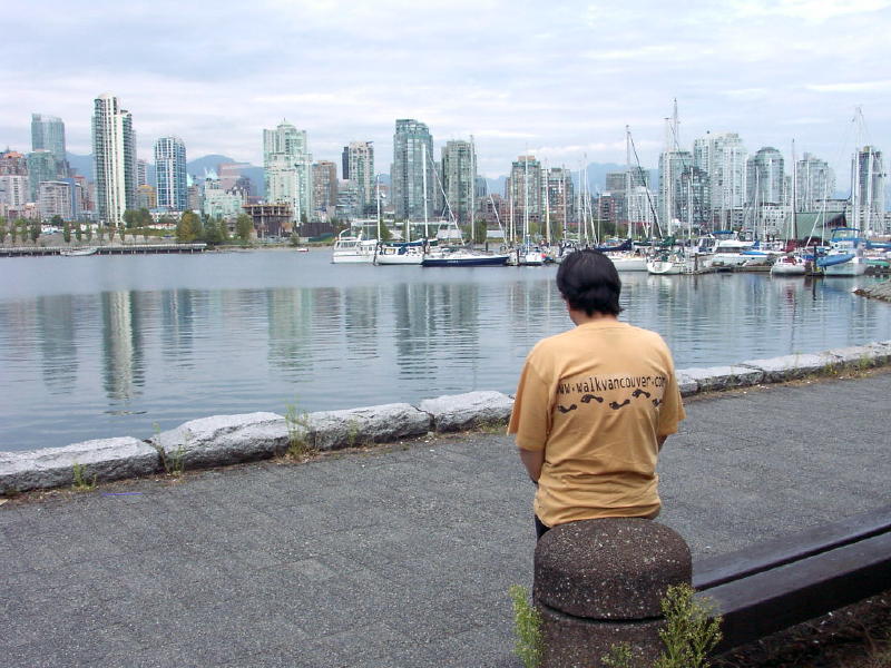
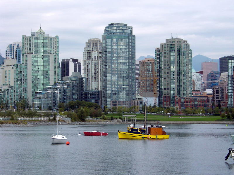
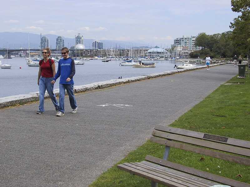
From the farthest eastern part of the Granville Island Walk, we walk around a small bay, on a boardwalk. We pass by a large iron sculpture. After rounding the small bay, we start walking east, on the stone walkway that follows the water's edge. We have a stunning view of the southern part of downtown across the water. Bill stopped to admire the view and to pose for his picture here. Bill is wearing his walkvancouver.com T-shirt. (order yours now before they are all sold out!)
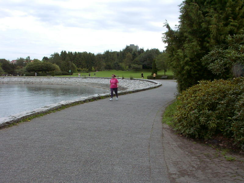
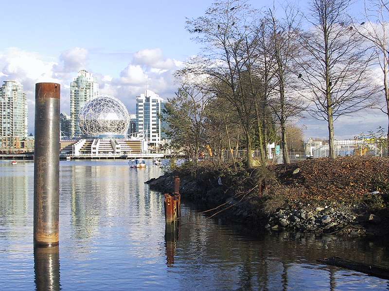
Our walk continues past water on the left, and greenery on the right.
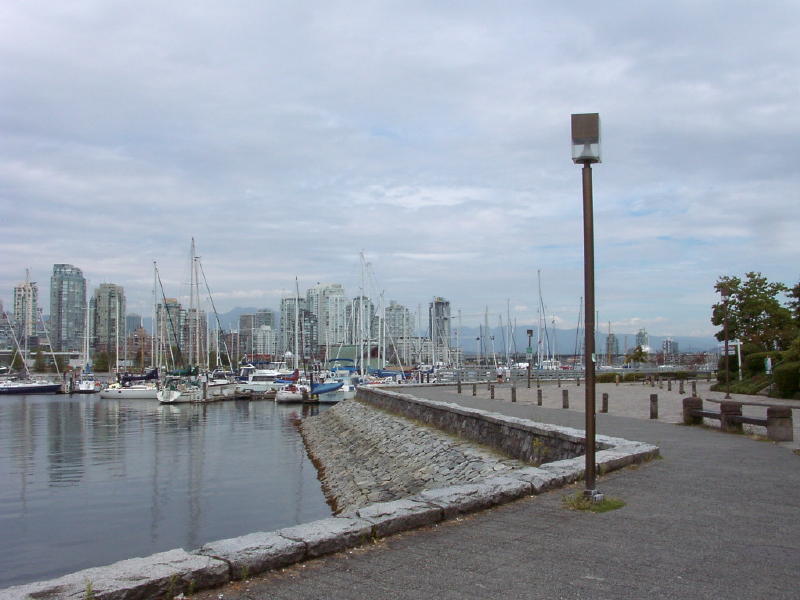
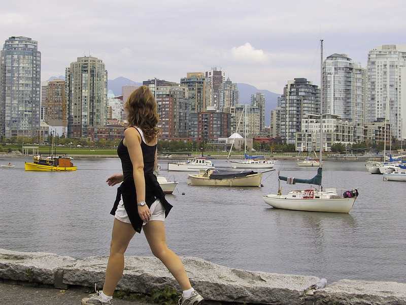
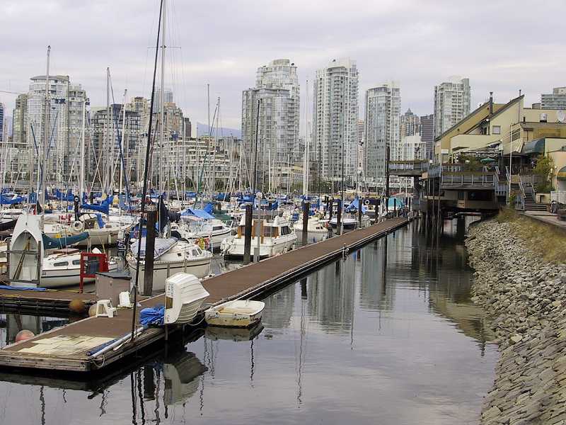
We keep walking east, past moored boats and more wonderful views across the water. This is a popular walk, and we see other walkers, joggers and cyclists.
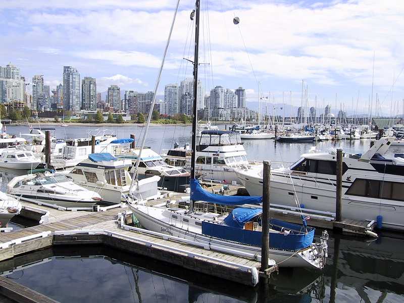
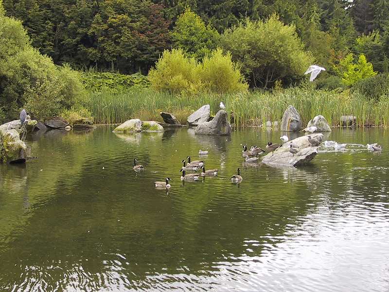
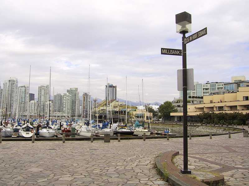
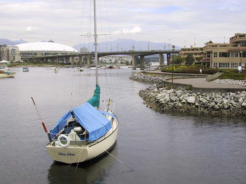
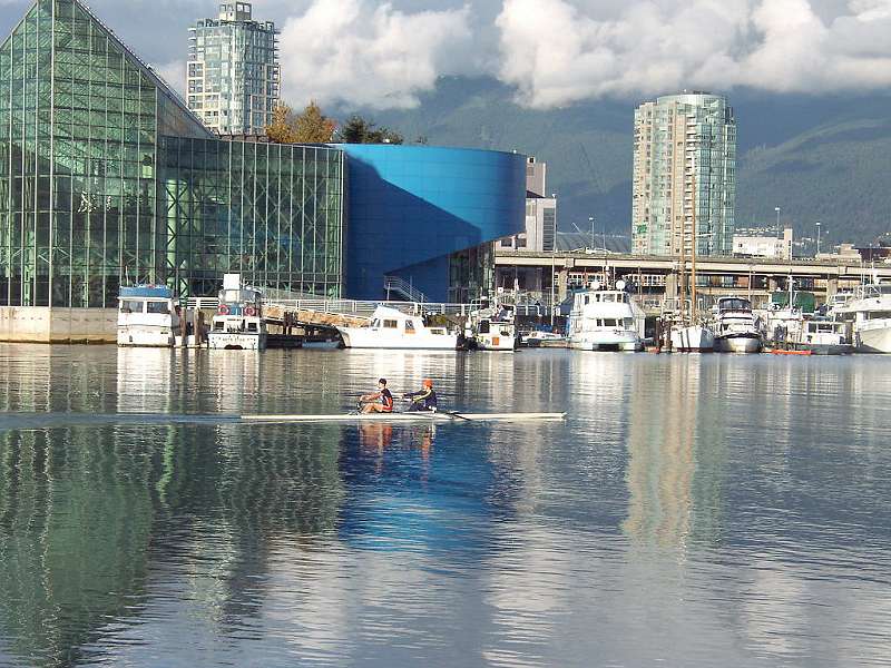
We walk past a pond filled with ducks, on the right hand side. Soon we come to several upscale condominium developments. The streets are cobblestone, and some of the names of the streets are very unique! The sign in the picture is at the corner of Millbank Road and Leg-In-Boot Square. Hundreds of boats are moored here.
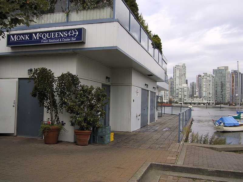
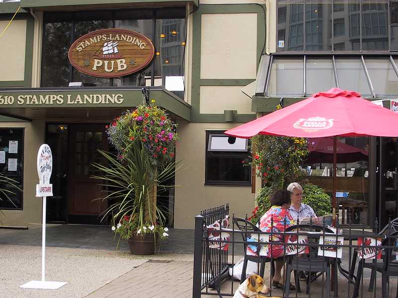
Our walk was near the end when we come to Monk McQueens, a landmark in Vancouver dining. They feature seafood and a terrific view over the water from their patio. Beyond Monk's, we enter an industrial area. Just beside Monk's is Stamps Landing where the pub is an ideal place to have a beer as your reward.
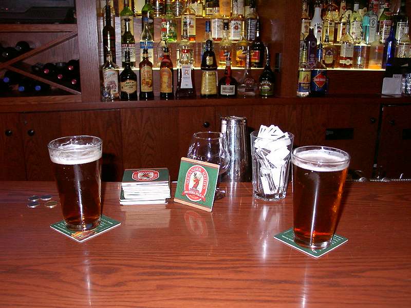
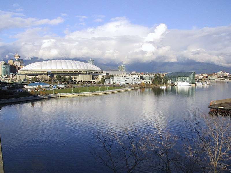
We were distracted by our beer and ended our walk at this point, but you can continue on to, and past, the Cambie Street Bridge. A pedestrian access takes you up to bridge level for a spectacular elevated view. Crossing the bridge on foot takes you to the False Creek North walk. If you carry on beyond the bridge on the south side, your walk continues through an industrial area that stretches as far as Science World.
Want an alternative? Check out Granville Island Ferries - their map and destinations page shows the major attractions around False Creek and how their mini ferries connect them. What a great way to get back from Stamps Landing, or to just have the fun of a ride on the waters of False Creek!
Copyright 2001, walkvancouver.com
![]()
